
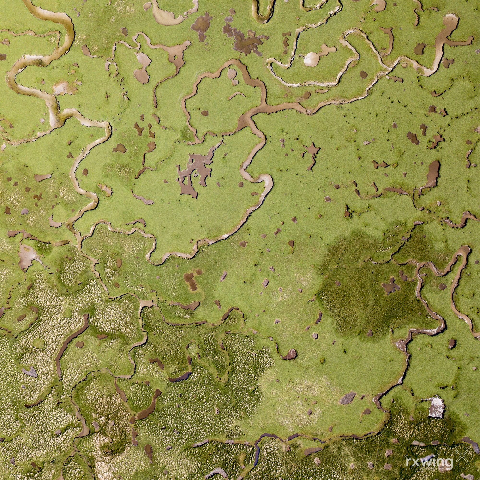
Machair
Luskentyre , Isle of Harris
Machair is a Gaelic word meaning “fertile plain”. Found in the far north west it makes for good grazing for crofters and is home for many rare plants.
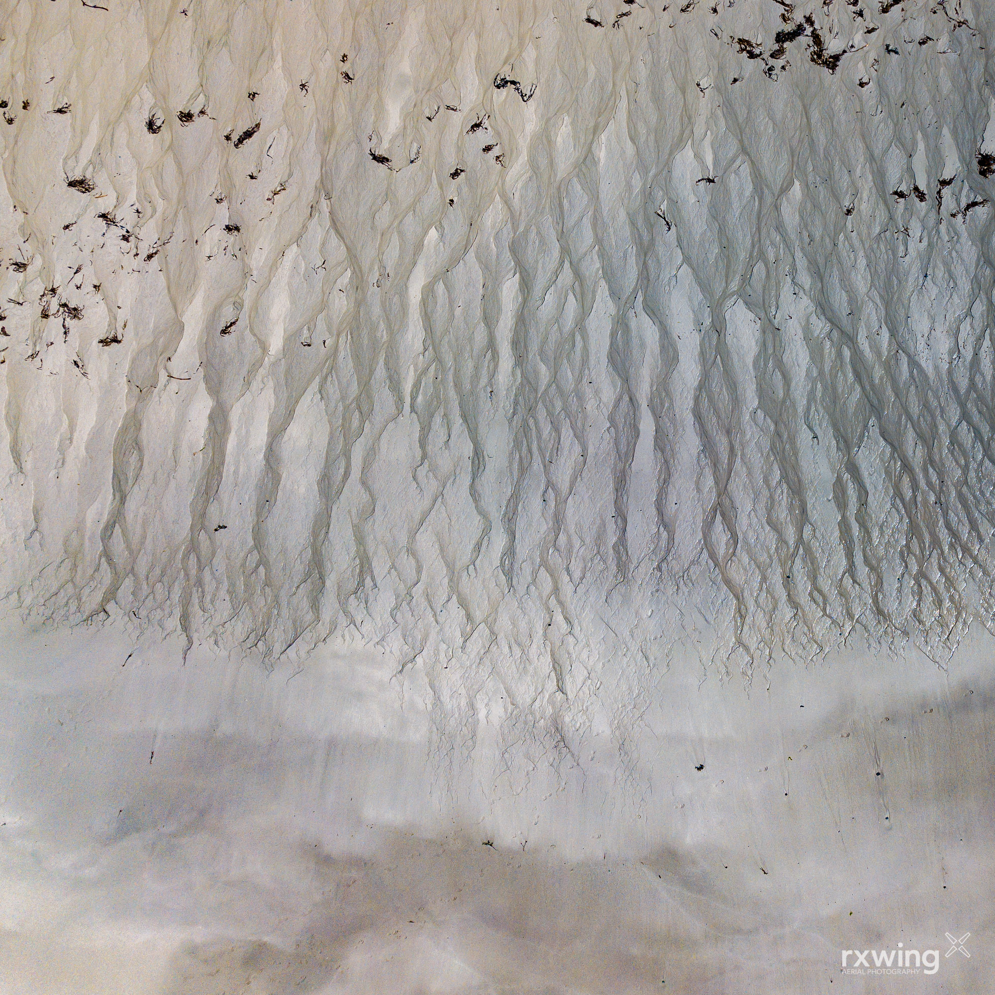
Tideline
Outer Hebrides
Mainland Scotland has 6,160 miles (9,910 km) of coastline. Including the many islands, this increases to 10,250 miles (16,500 km).
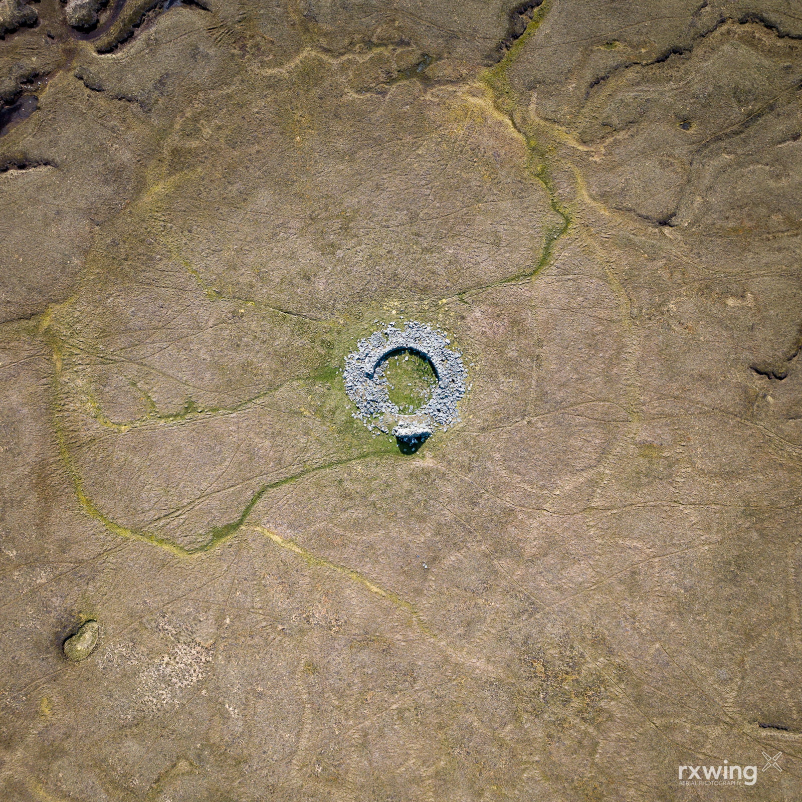
Brochs
Dun Bhuirgh, Isle of Lewis
Brochs are circular stone structures dating back to the iron age. For a long time they were considered to be defensive but recent studies suggest they were dwellings and a statement of prestige.
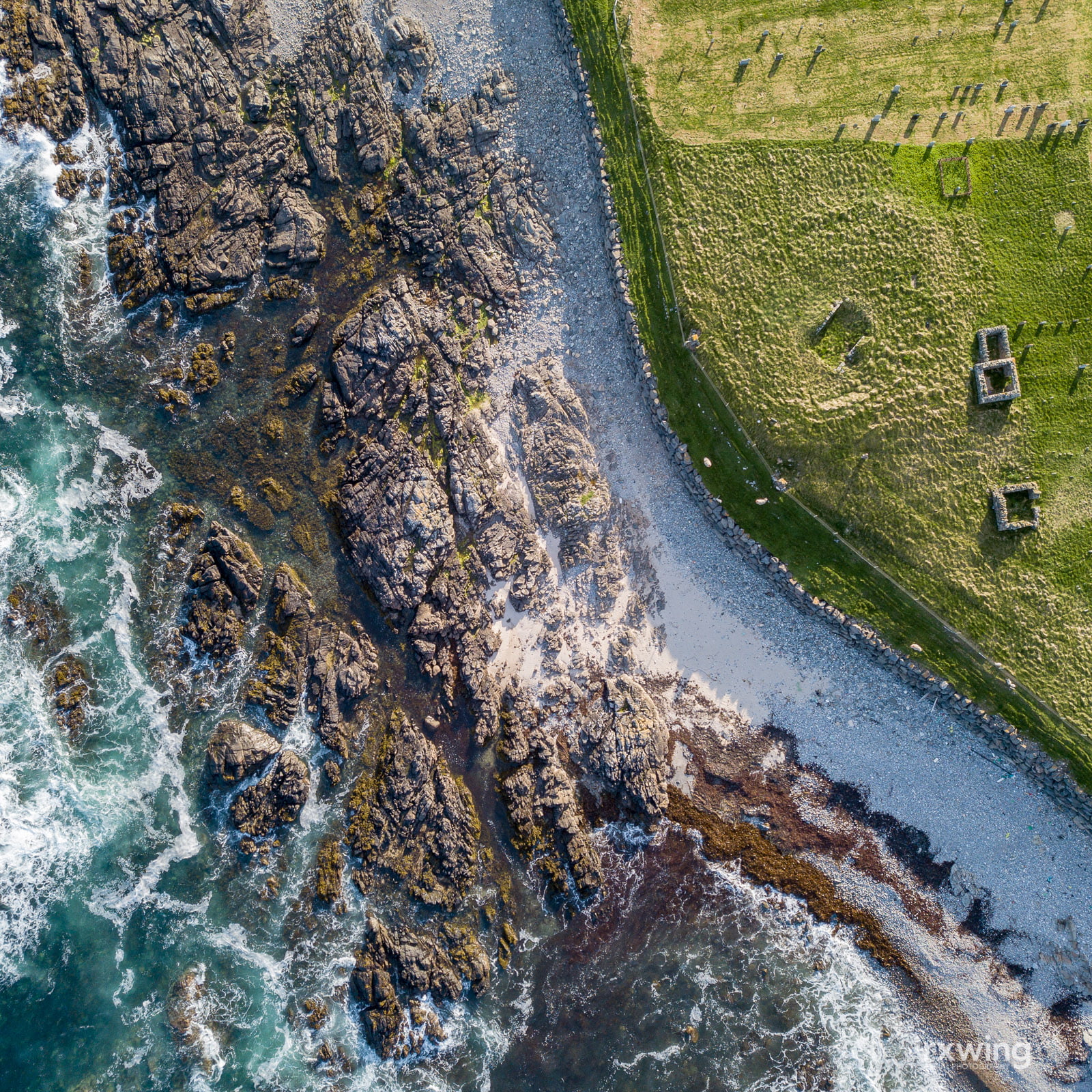
Worship
Galson, Isle of Lewis
Teampall nan Crò Naomh (Church of the Holy Blood) is a ruined 13th century chapel and a reminder of the relationship between religion and the landscape.
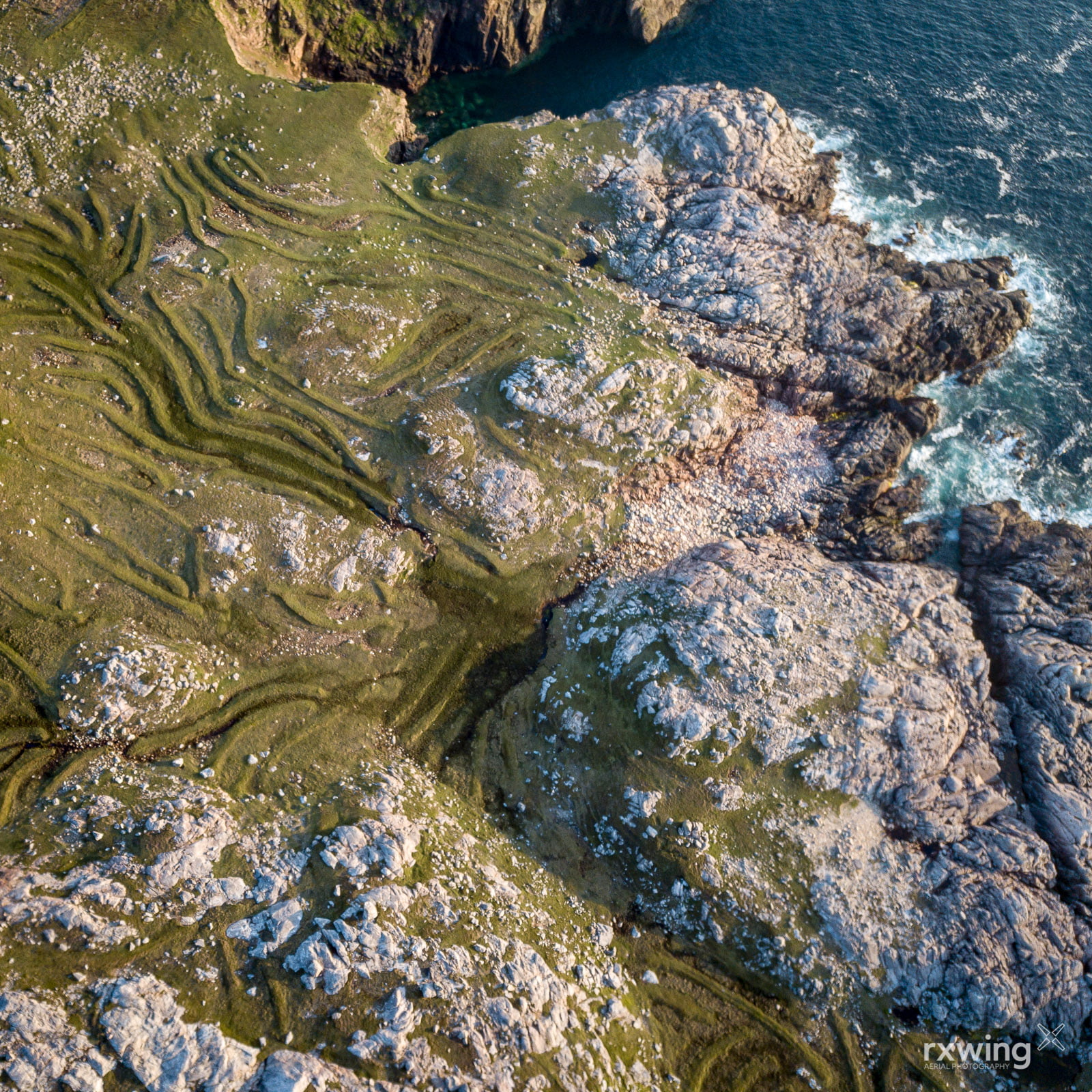
Lazy Beds
Huisinis, Isle of Harris
Lazy beds (Gaelic feannagan) are a method of cultivation introduced by the Vikings, their traces can be seen throughout the Highlands and islands.
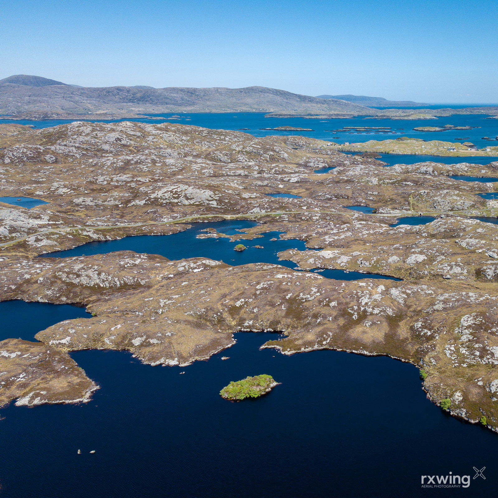
Green Island
Loch Harmasig, Isle of Harris
Islands provide plants, shrubs and trees with protection from grazing and hint at what Scotland could look like with control on deer and sheep numbers.