Introduction
My view of the Highlands has changed. Where once I saw wilderness I now see a landscape marked by human activity, vegetation depleted by grazing, moors drained to rear grouse and swathes of plantations which support little biodiversity. Wind turbines and hydro schemes encroach on designated wild lands, while vehicle tracks push deeper into the hills unchecked by regulation or oversight.
But things are changing. Our understanding of the importance of biodiversity is increasing; regeneration, reintroduction and rewilding projects are gaining support and there is an appetite to reexamine how we use the landscape.
With a background in documentary photography I moved to Scotland to explore the mountains and started photographing landscapes as a way to understand the natural environment. Using a drone to shift perspective these images are part of an ongoing study of the conflicts and contradictions within the Scottish landscape.
For more information, print purchase, image usage or to suggest new locations please get in touch.
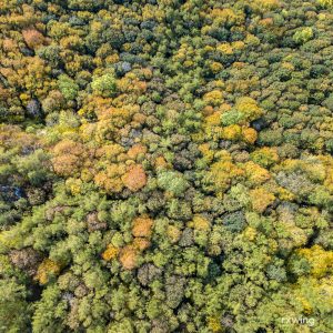
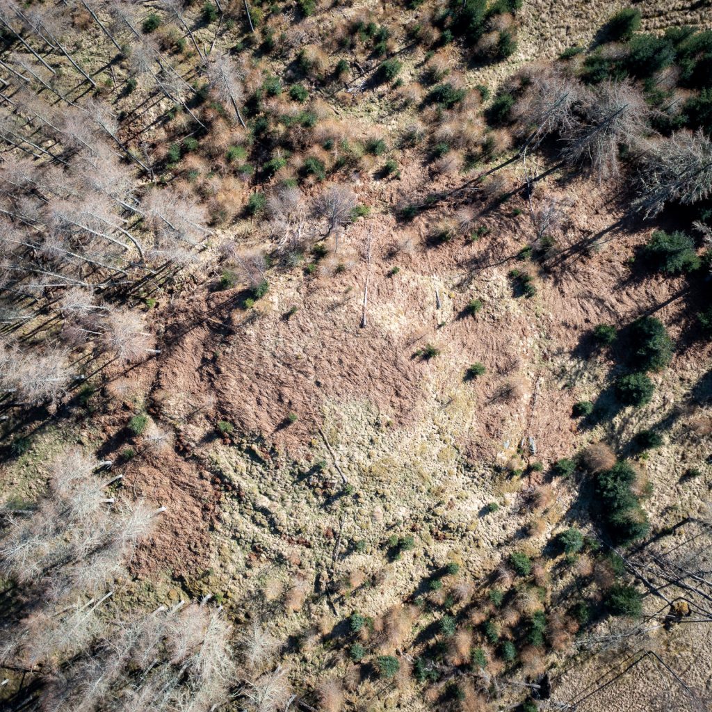
Native
Deuchny, Perthshire
Great Map
Eddleston, Scottish Borders
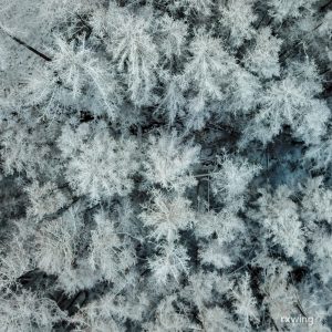
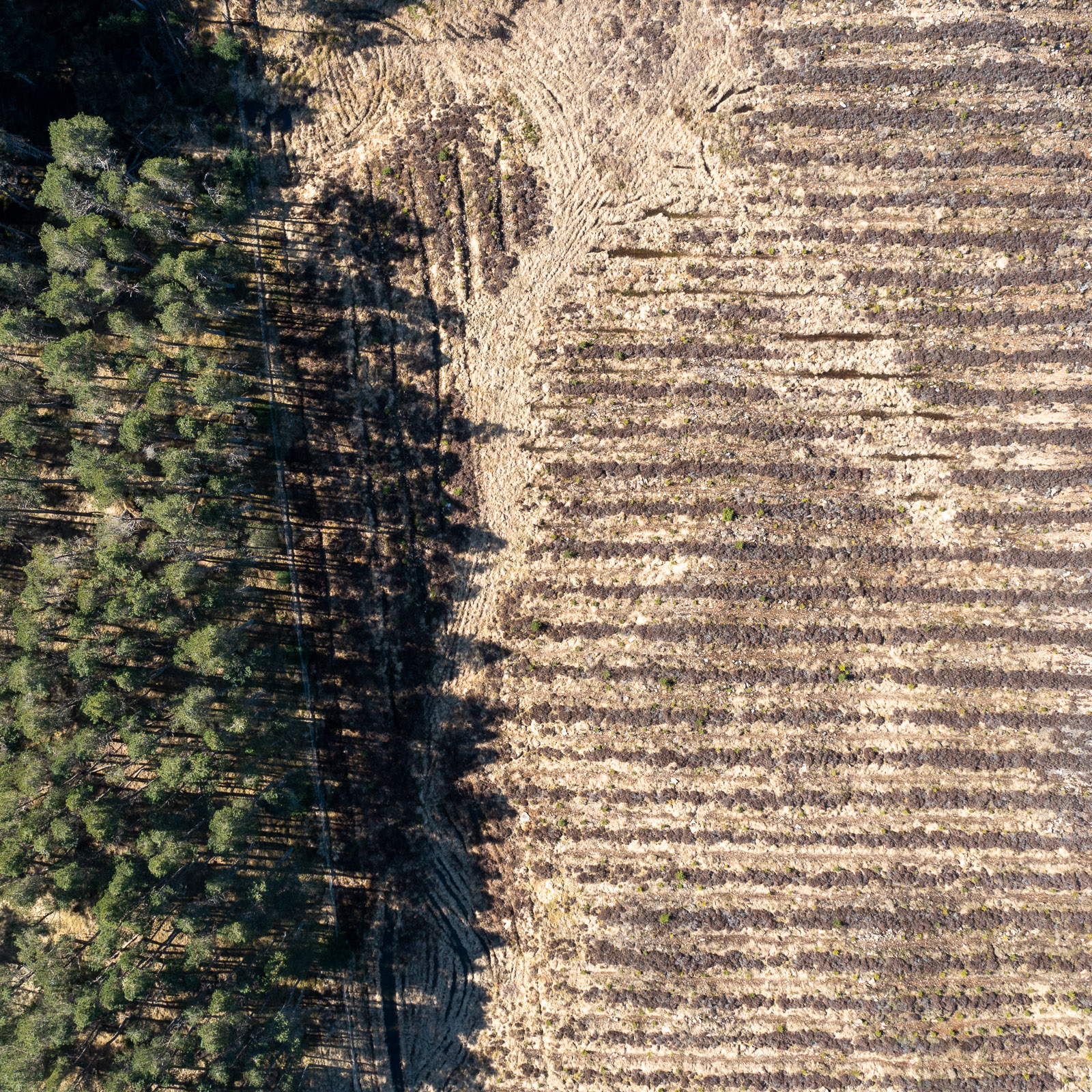
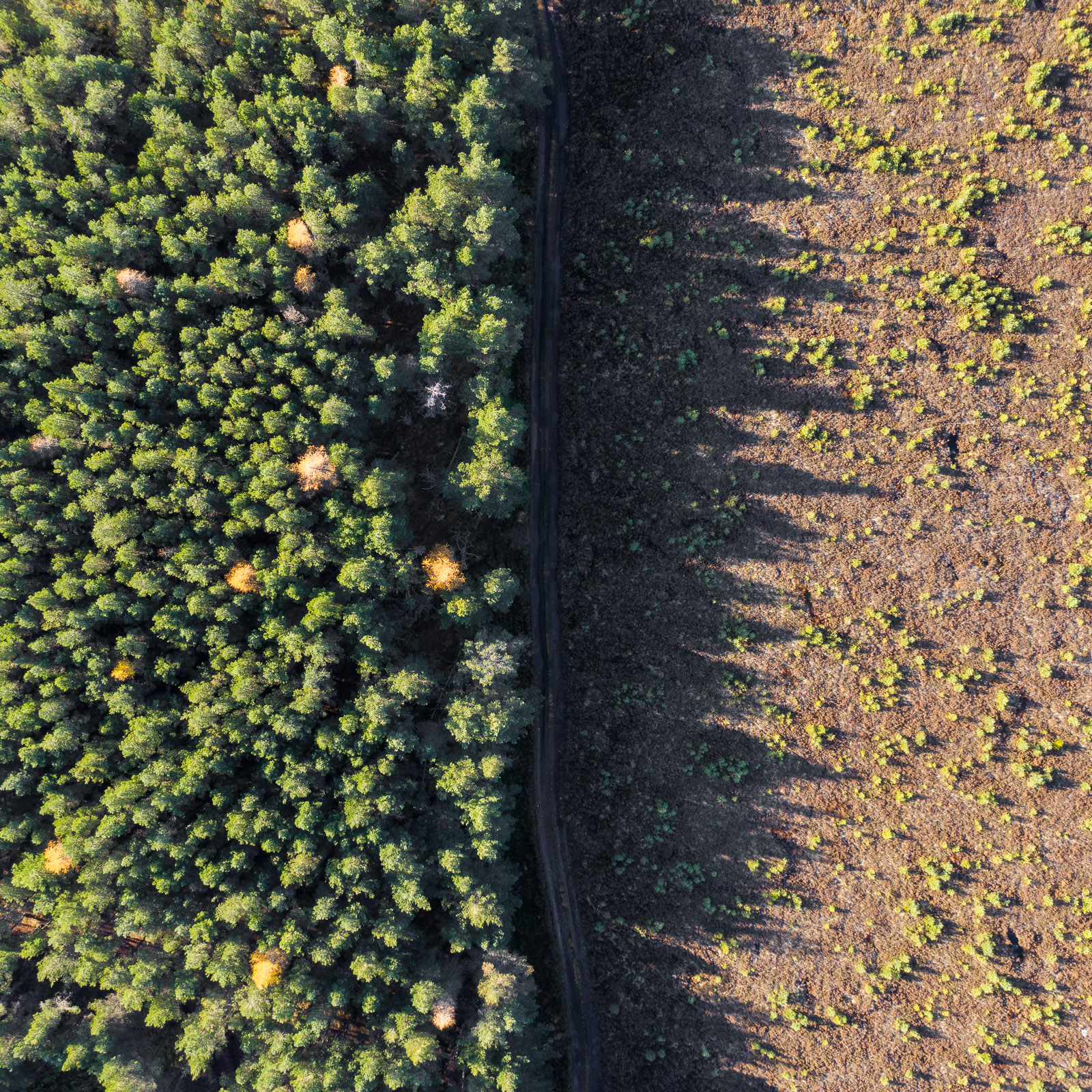
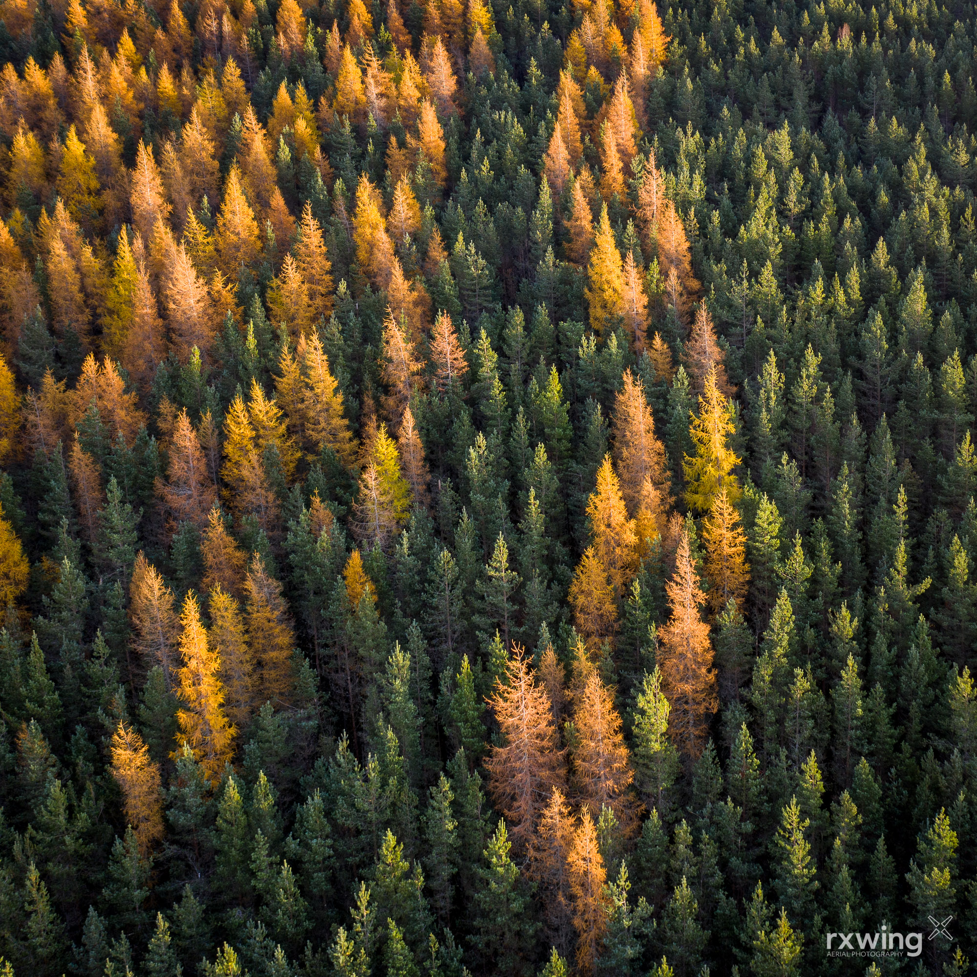
Plantations
Corran, Lochaber
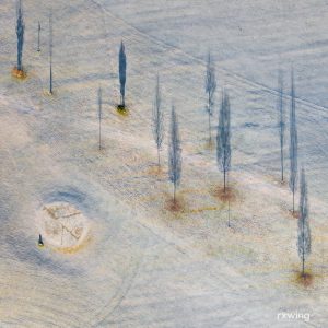
Golf
Dunkeld, Perthshire
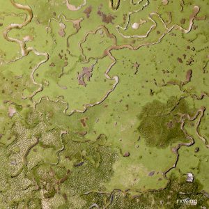
Machair
Luskentyre , Isle of Harris
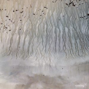
Tideline
Outer Hebrides

Brochs
Dun Bhuirgh, Isle of Lewis

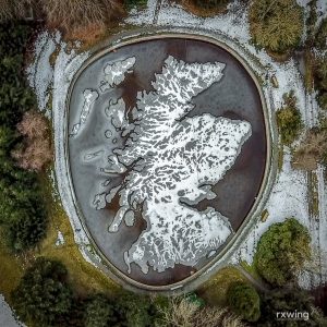
Reservoir
Glensherup, Ochil Hills

Monument
Hopetoun, East Lothian

Worship
Galson, Isle of Lewis

Deer Fence
Fionn Ghlean, Lochaber

Daffodils
Kinclaven, Perthshire

Lazy Beds
Huisinis, Isle of Harris

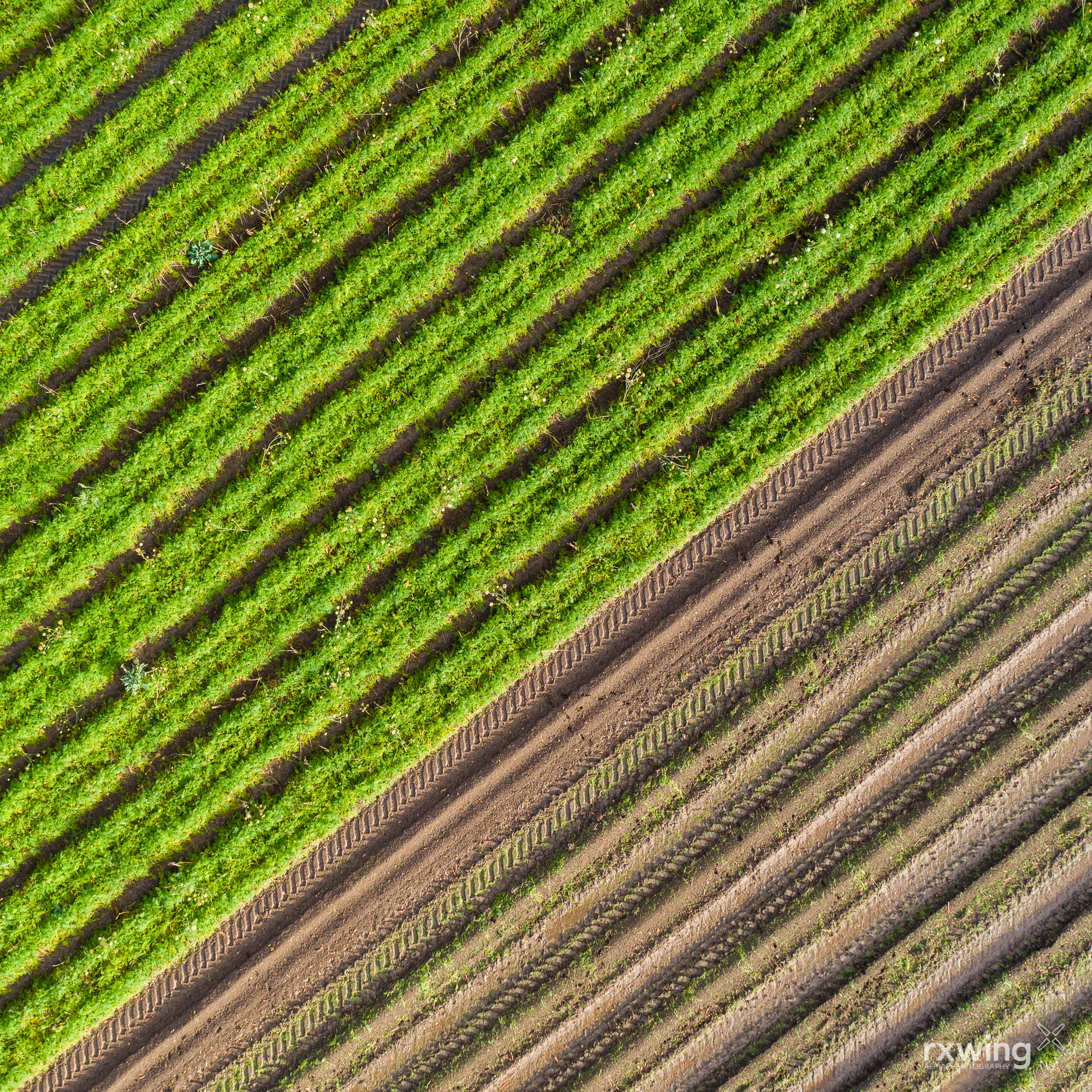
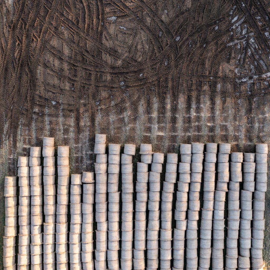
Straw & Manure
Ewingston, East Lothian

Green Island
Loch Harmasig, Isle of Harris
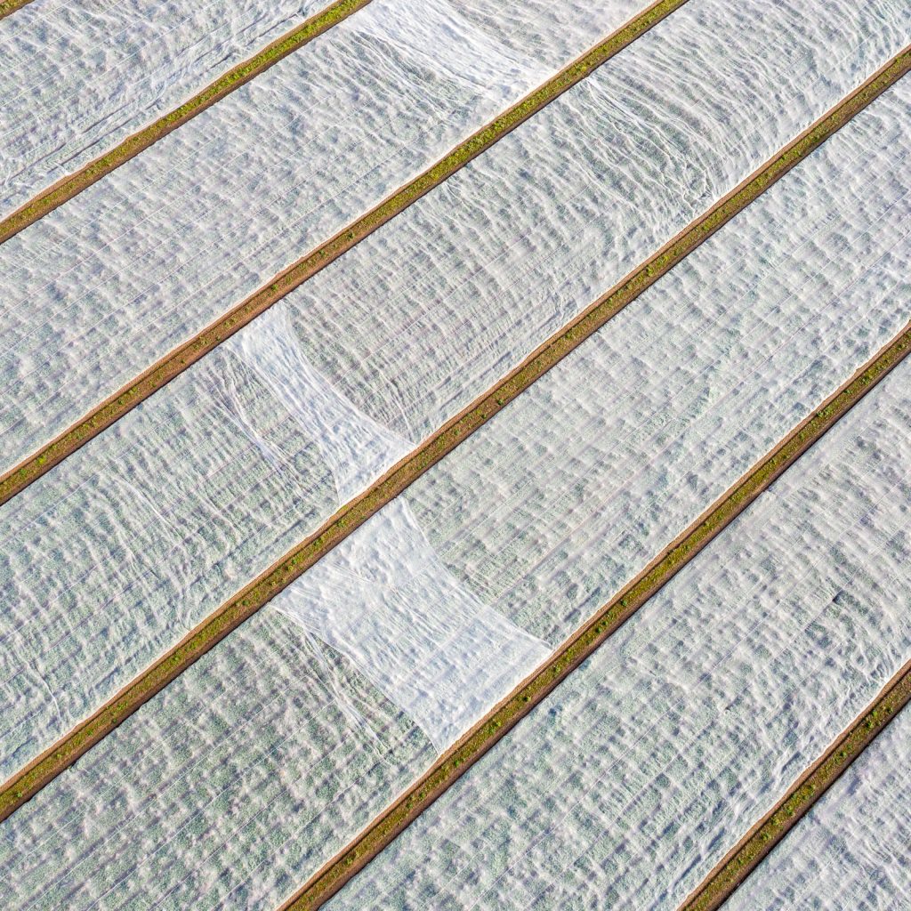
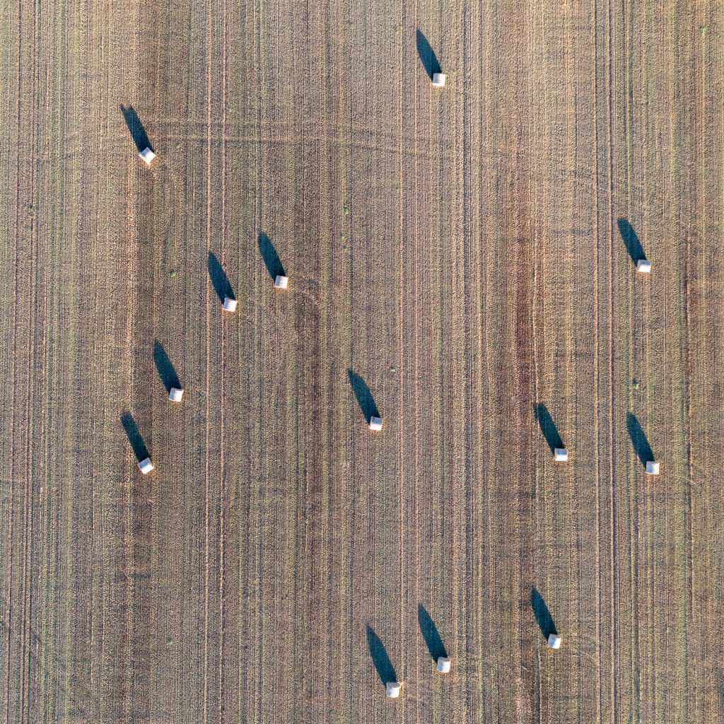
Winter Fields
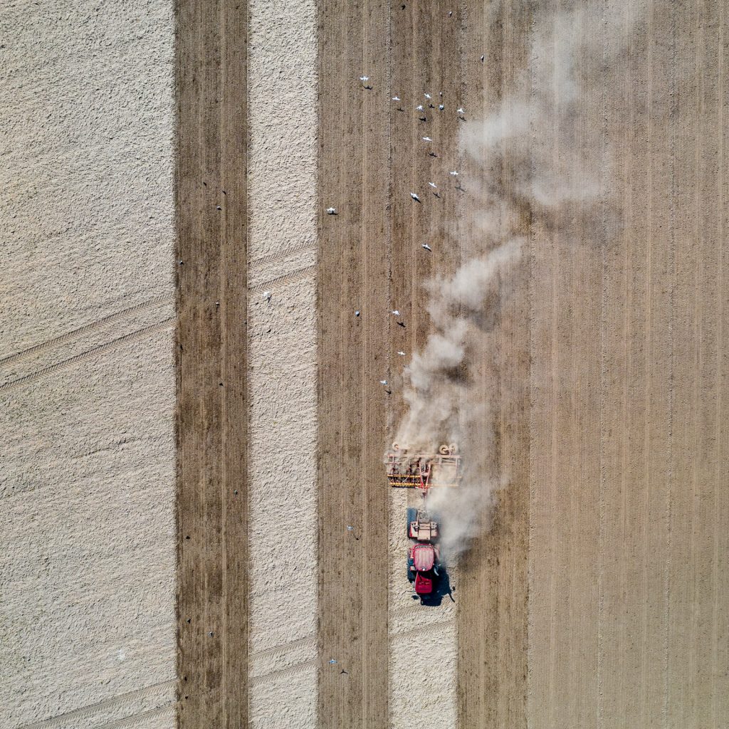
Harvest
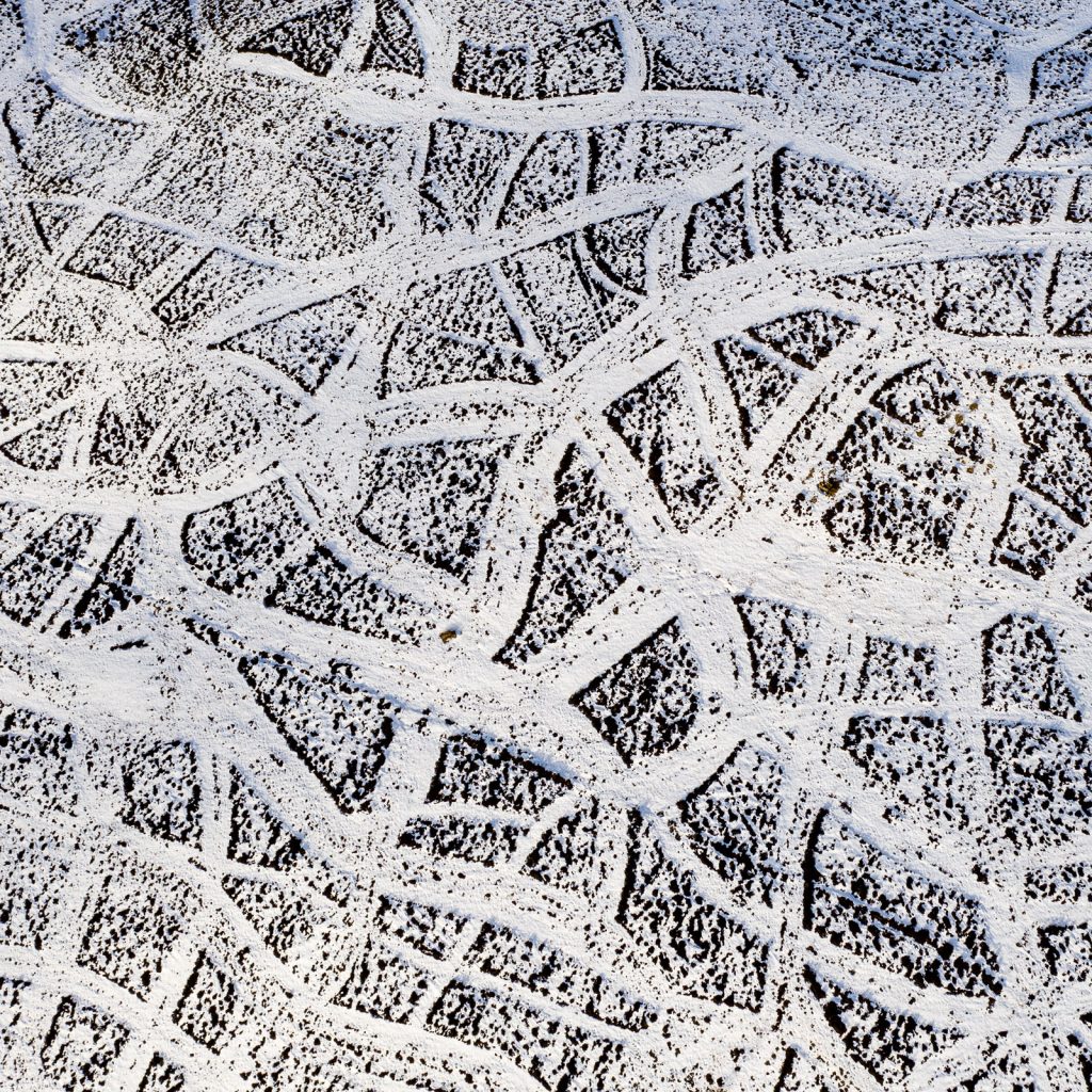
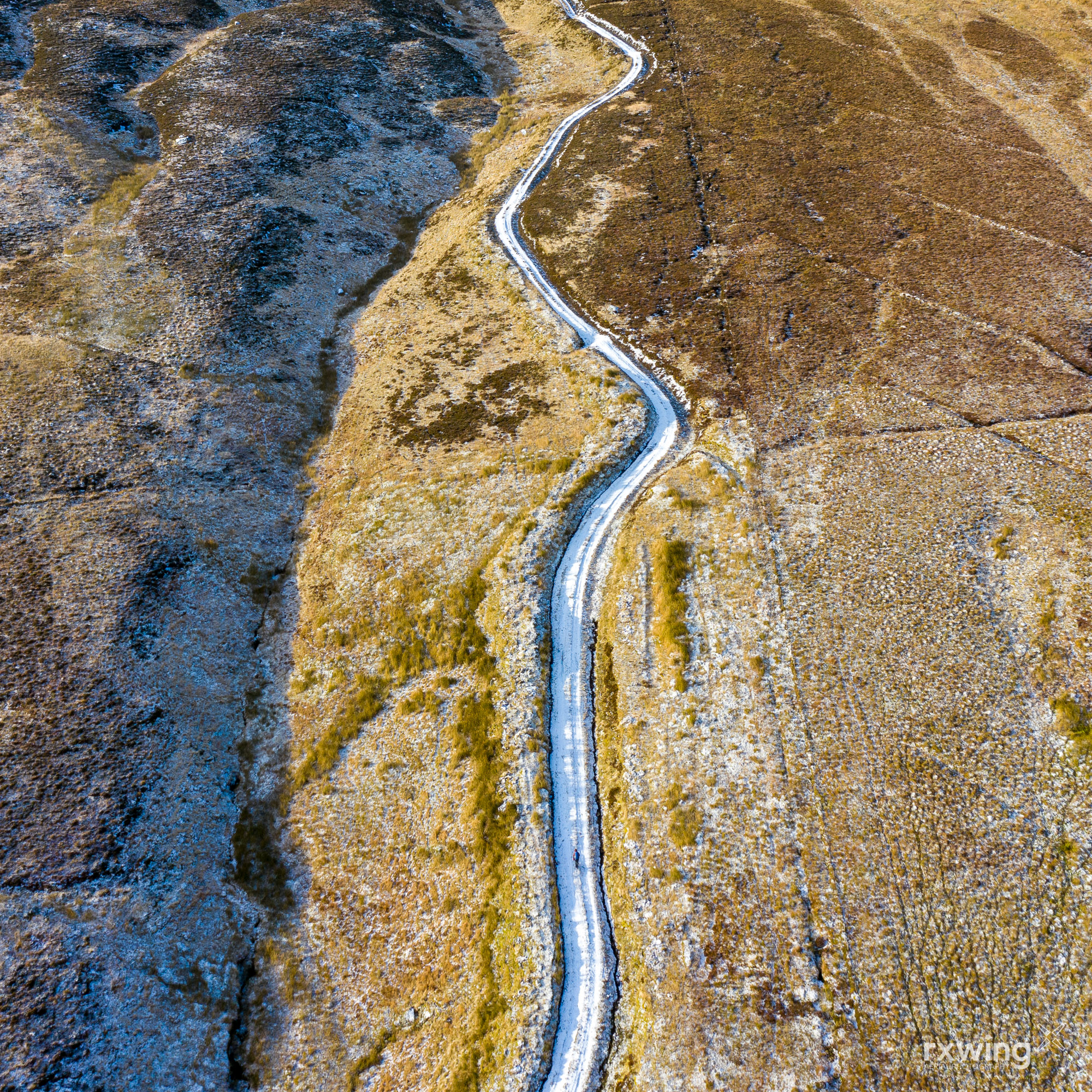
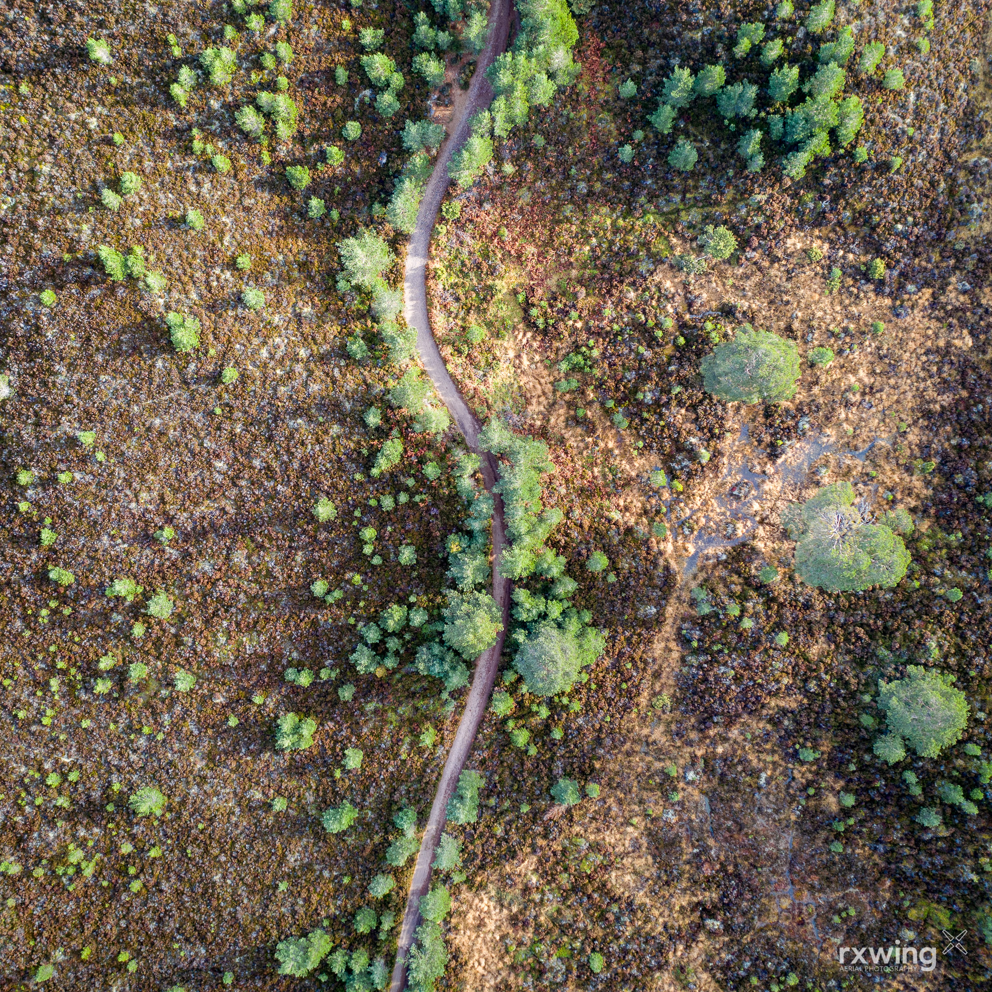
Traces
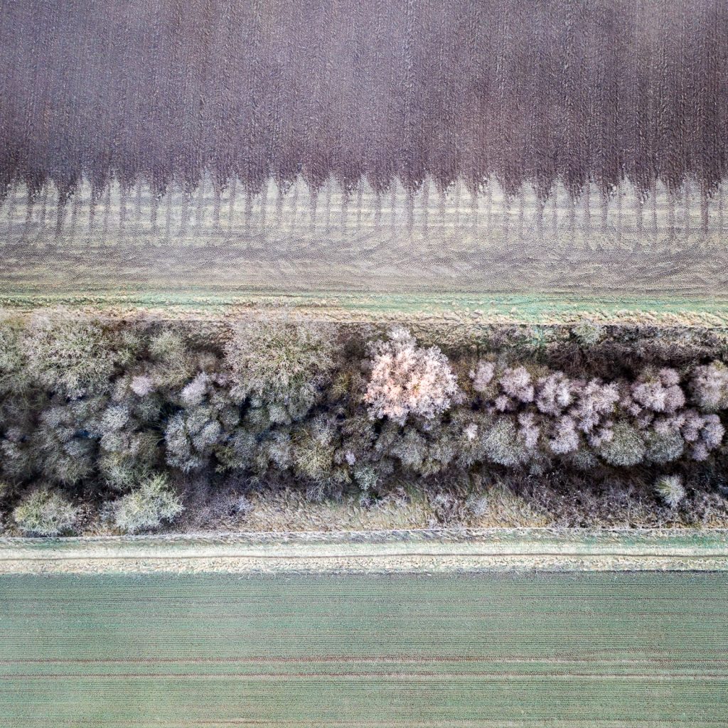
Regeneration #2
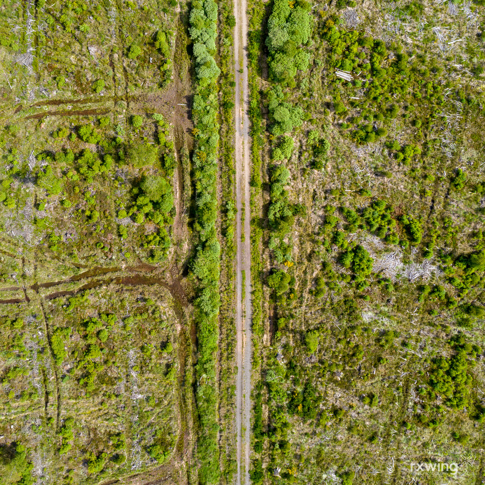
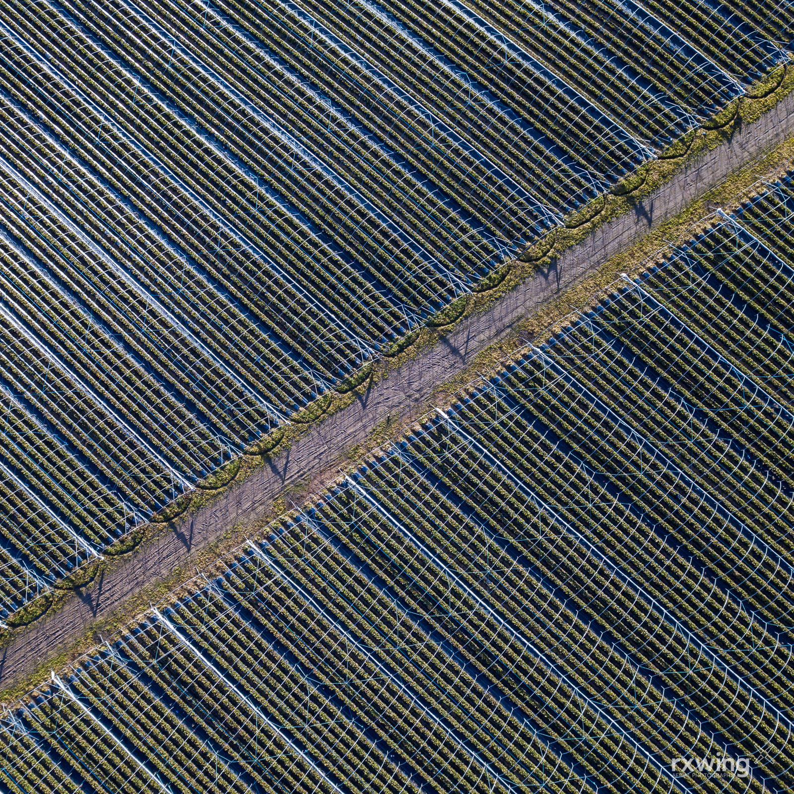
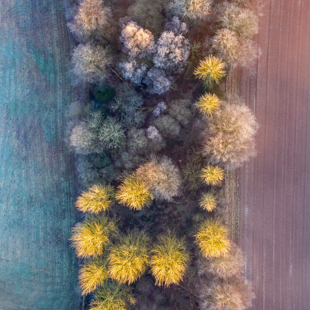
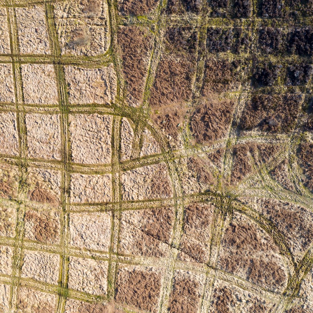
Tree Lines
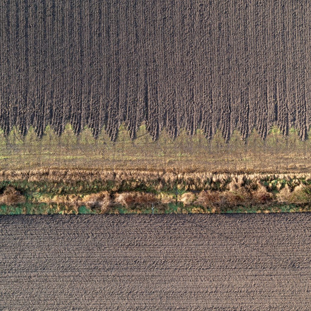
Farm Lines